The Highlands Winter Trail Map Creative Journey
The Highlands Winter Map is more than a visual guide; it is a time capsule—a tribute to 60 years of alpine joy, adventure, and community.
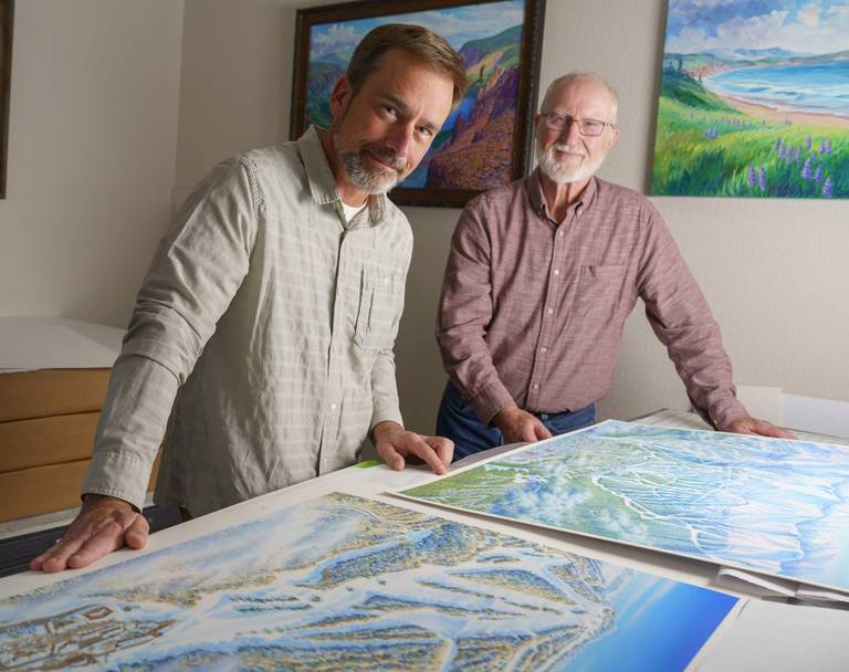
Meet Rad Smith: The Artist Behind The Highlands Winter Trail Map
Rad Smith is a talented illustrator who has made a name for himself in the world of cartography. He is the creative force behind Rad Smith Illustration, where he combines traditional drawing and painting techniques with advanced mapping skills. Rad is currently focused on the art of painting panoramic terrain maps, which is a timeless craft.
Seeking a natural and authentic aesthetic, he draws inspiration from traditional panoramic painters. He receives valuable guidance from the esteemed James Niehaus, a well-known illustrator and cartographer who was the original painter of The Highlands winter map decades ago. Throughout his creative process, Rad draws inspiration from the work of James Niehaus but ensures his own interpretation remains distinctive.

He will tell you that at the core of what he does, he enjoys creating visual stories through graphics. Maps have always been an integral part of his life, and he believes that his love for weather grew from his fascination with maps at a young age. When he's not drawing or painting, he loves spending time outdoors. He's a true nature lover, and you might find him rafting, trail running, hiking, and, of course, skiing.
Journey to The Highlands Winter Map: A Historic Undertaking
Winter of 2022 was a momentous time for Rad's career as he began designing The Highlands winter map for the historic 2023/24 season. This year marks the resort's 60th year of operation and brought groundbreaking improvements, including the installation of the Midwest's first 6-place D-line bubble chair. The flagship chairlift replaced three original triple chairs - Camelot, MacGully, and Valley - all of which date back to the 1960s and the earliest days of triple chairs. Unlike the original Camelot, the new Camelot 6 extends to the top of the Upper Camelot slope on the southern end of the mountain. The installation of the new chairlift resulted in terrain and grading modifications, added a new glade, and made slight adjustments to other trails. All these changes were significant enough to warrant a complete re-do of the resort's winter map.
The resort formerly known as Boyne Highlands underwent a rebranding in December 2021 and is now called The Highlands. The resort team needed to update their map to follow this new visual direction as part of this rebrand. The team prioritized simplicity and a clean, modern approach for the new map to create a visually appealing design that would withstand the test of time. They sought to balance tradition and history with innovation and a modern aesthetic.
The Artistry Behind the Maps: Rad's Creative Process and Workflow
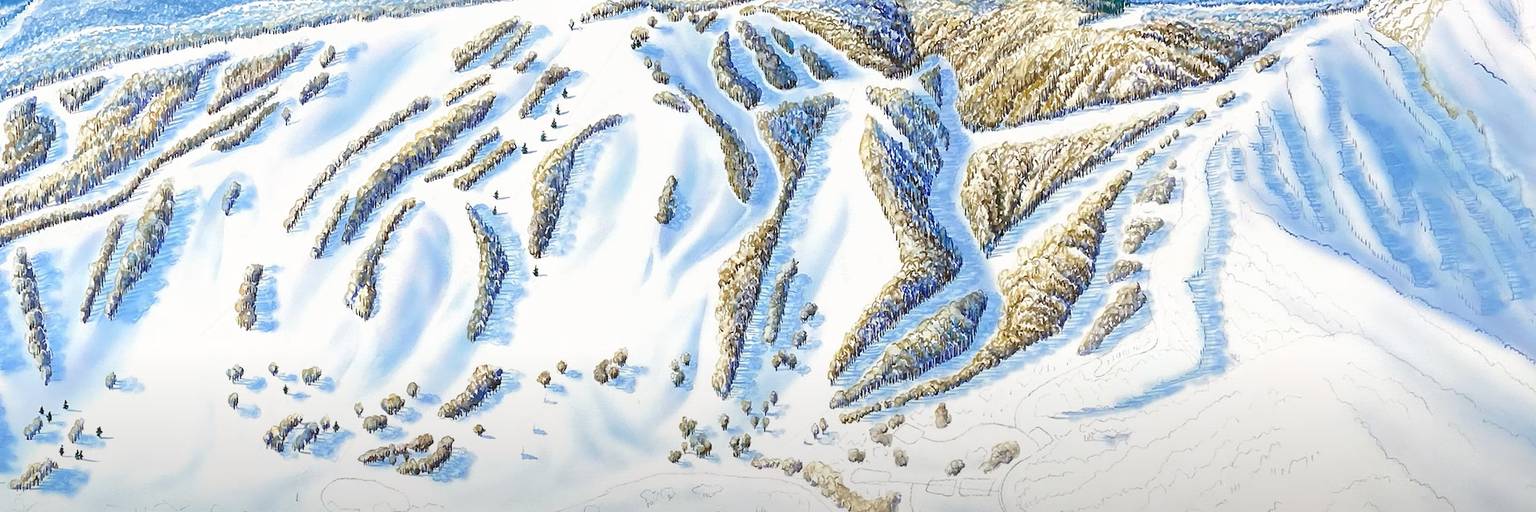
Rad operates from his home-based studio, and his map-making process for The Highlands was a labor of love, with up to 150 hours of careful work. The winter map is more than just a guide; it's an artistic interpretation of The Highlands, and that takes time and consideration. It is an art form.
Rad begins his creative journey with line drafts, detailed pencil sketches, and finally, a paintbrush. All culmination on the digital canvas for the final layout. He evaluates what needs to change from an artistic standpoint as much as what is required from a map standpoint.
He draws inspiration from Google Earth and aerial photos and takes into consideration various lighting effects; sometimes, the embellished lighting that he might see in a photograph might not portray the actuality of the landscape. Rad considers the nuances of the hill and, how they relate to one another, and how the sunlight plays into the shadows. There are many conversations with the marketing team – there is not one single item; it is a combination of all the visual resources to put his eye on crafting a visual narrative that goes beyond the physical landscape, resulting in a detailed yet realistic canvas.
When choosing colors for the map, he aims for a delicate balance between consistency with previous maps and a touch of vibrancy to infuse a modern aesthetic. He wants to preserve the uniqueness while capturing the change. A key theme in Rad's approach is the importance of capturing the unique aspects of each location. He underscores the need for the new map to stand out, ensuring that the changes made are noticeable and contribute to the evolving story of the terrain. For color, he wants to be consistent but not so drastic, but he wants people to know it is new. He carries themes from previous maps but uses brighter colors to keep it current.
The calm colors don’t sway too far from the original design but speak to the serenity of northern Michigan near the waters of Lake Michigan and the surrounding woods and nature specific to the area. They also lean into the updated brand transformation and color palette.
This is true for The Highlands and the true simplicity in the approach seen in the final artwork.
How does he balance accuracy vs. artistry?
Through James, he learned a lot about size – “Obviously, the bigger you paint, the more detail, but it isn’t required. Highlands is wider than tall from South to North. It can be easy to get pulled into one area, like looking at the beautiful architecture of The Highlands; but you don’t put that into a map. So, you have to think about the big picture and the reality of how it will be viewed. No one will consider the window frames on a building, think big, and then add the more minor details later, like tree trunks, cars, and at some point, you need to stop.”
Geographical Challenges and Unique Characteristics
During a discussion about the geographical challenges inherent in creating these maps, Rad emphasizes the diversity of trees in the Midwestern and Eastern regions compared to the Western areas. Each ski area, he notes, possesses unique characteristics that demand individual attention, reinforcing the importance of tailoring each map project. Trees out west are bare, compared to the Midwest, where we have a diversity of hardwoods and a more challenging and broader range of color options with deciduous trees.
Experimenting with various lighting effects, drawing from an artistic standpoint, and factoring in changes in topography and architecture, he strives to provide a detailed and realistic representation of the area.
To him, every ski area is distinctly different; even if they are next to each other, they all have their uniqueness about them. The research behind the scenes helps him tell each story through the final brush strokes.
Celebrating 60 Years: A Map as a Time Capsule
The Highlands Winter Map is more than a visual guide; it is a time capsule—a tribute to 60 years of alpine joy, adventure, and community. It's an invitation to explore and rediscover The Highlands, both for those who've been part of our journey and those who are yet to make their first tracks on our slopes.
Rad's artistic talent captures the legacy of our history and hints at the exciting future awaiting our slopes.
Lastly, when asking Rad how he knows when he is done, Hint: Find his name on the map.
Thank you, Rad, for being part of our historic journey; we are thankful for your artistry and talent.


